Suburbs and farm, Belfast (February 2015)
Introduction
The photograph on this page of Suburbs and farm, Belfast (February 2015) by Albert Bridge as part of the Geograph project.
The Geograph project started in 2005 with the aim of publishing, organising and preserving representative images for every square kilometre of Great Britain, Ireland and the Isle of Man.

There are currently over 7.5m images from over 14,400 individuals and you can help contribute to the project by visiting https://www.geograph.org.uk
Suburbs and farm, Belfast (February 2015)
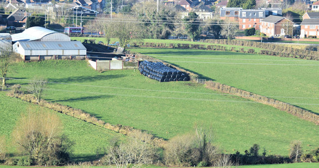
Image: © Albert Bridge Taken: 6 Feb 2015
The view towards the Manse Road, from close to here Image, showing the boundary/current limit of development between town and country.
Images are licensed for reuse under creativecommons.org/licenses/by-sa/2.0
Image Location
Latitude
54.555994
Longitude
-5.888728