Cycle Path Passing Under the West Coast Main Line
Introduction
The photograph on this page of Cycle Path Passing Under the West Coast Main Line by David Dixon as part of the Geograph project.
The Geograph project started in 2005 with the aim of publishing, organising and preserving representative images for every square kilometre of Great Britain, Ireland and the Isle of Man.

There are currently over 7.5m images from over 14,400 individuals and you can help contribute to the project by visiting https://www.geograph.org.uk
Cycle Path Passing Under the West Coast Main Line
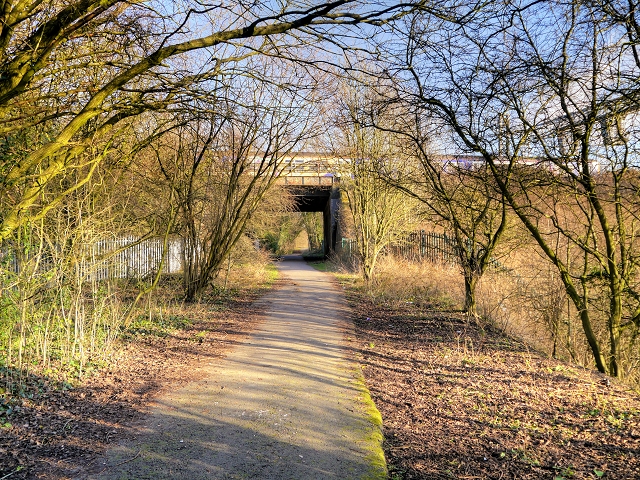
Image: © David Dixon Taken: 4 Feb 2015
The cycle route here follows the path of a disused railway line. The bridge carries the present main line into and out of Preston Station.
Images are licensed for reuse under creativecommons.org/licenses/by-sa/2.0
Image Location
Latitude
53.744498
Longitude
-2.705327