Penwortham Brow
Introduction
The photograph on this page of Penwortham Brow by David Dixon as part of the Geograph project.
The Geograph project started in 2005 with the aim of publishing, organising and preserving representative images for every square kilometre of Great Britain, Ireland and the Isle of Man.

There are currently over 7.5m images from over 14,400 individuals and you can help contribute to the project by visiting https://www.geograph.org.uk
Penwortham Brow
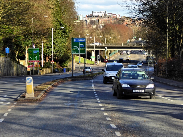
Image: © David Dixon Taken: 4 Feb 2015
Looking towards Preston City Centre. The flyover ahead carries the ring road, Guild Way.
Images are licensed for reuse under creativecommons.org/licenses/by-sa/2.0
Image Location
Latitude
53.7513
Longitude
-2.725156