Bitter End, Dorchester
Introduction
The photograph on this page of Bitter End, Dorchester by Becky Williamson as part of the Geograph project.
The Geograph project started in 2005 with the aim of publishing, organising and preserving representative images for every square kilometre of Great Britain, Ireland and the Isle of Man.

There are currently over 7.5m images from over 14,400 individuals and you can help contribute to the project by visiting https://www.geograph.org.uk
Bitter End, Dorchester
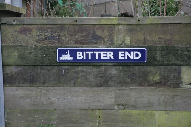
Image: © Becky Williamson Taken: 6 Feb 2015
A sign at the beginning of my long walk which I hoped wasn't a bad omen! It wasn't!
Images are licensed for reuse under creativecommons.org/licenses/by-sa/2.0
Image Location
Latitude
50.709552
Longitude
-2.432189