Path by the Pool River
Introduction
The photograph on this page of Path by the Pool River by Robin Webster as part of the Geograph project.
The Geograph project started in 2005 with the aim of publishing, organising and preserving representative images for every square kilometre of Great Britain, Ireland and the Isle of Man.

There are currently over 7.5m images from over 14,400 individuals and you can help contribute to the project by visiting https://www.geograph.org.uk
Path by the Pool River
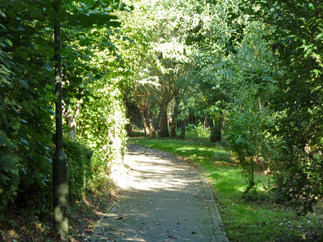
Image: © Robin Webster Taken: 1 Oct 2011
This runs from Worsley Bridge Road to Meadowview Road. The river is on the right.
Images are licensed for reuse under creativecommons.org/licenses/by-sa/2.0
Image Location
Latitude
51.423977
Longitude
-0.030793