Shaldon
Introduction
The photograph on this page of Shaldon by Derek Harper as part of the Geograph project.
The Geograph project started in 2005 with the aim of publishing, organising and preserving representative images for every square kilometre of Great Britain, Ireland and the Isle of Man.

There are currently over 7.5m images from over 14,400 individuals and you can help contribute to the project by visiting https://www.geograph.org.uk
Shaldon
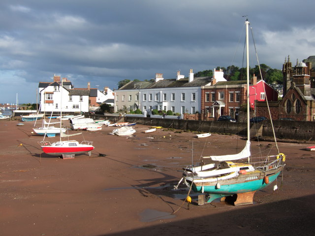
Image: © Derek Harper Taken: 11 May 2007
Facing the boats drawn up on the Salty (see Image) is a row of terraced houses, the blue part being Dolphin Court, a former hotel. On the extreme right is the east end of St Peter's church (1893-1902).
Images are licensed for reuse under creativecommons.org/licenses/by-sa/2.0
Image Location


Leaflet Map data © OpenStreetMap
Latitude
50.542035
Longitude
-3.508585