Bridleway to Mill Lane
Introduction
The photograph on this page of Bridleway to Mill Lane by Mat Fascione as part of the Geograph project.
The Geograph project started in 2005 with the aim of publishing, organising and preserving representative images for every square kilometre of Great Britain, Ireland and the Isle of Man.

There are currently over 7.5m images from over 14,400 individuals and you can help contribute to the project by visiting https://www.geograph.org.uk
Bridleway to Mill Lane
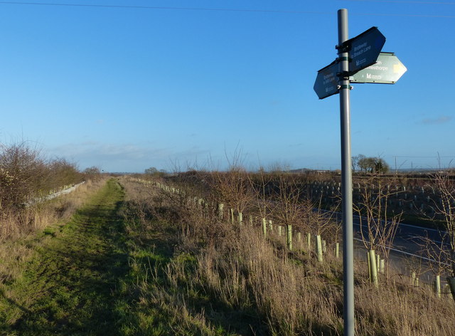
Image: © Mat Fascione Taken: 2 Jan 2015
The bridleway is running east along the edge of the A47 Clickers Way, part of the Earl Shilton Bypass which opened in March 2009.
Images are licensed for reuse under creativecommons.org/licenses/by-sa/2.0
Image Location
Latitude
52.568609
Longitude
-1.30564