The M1 southbound, Colindale
Introduction
The photograph on this page of The M1 southbound, Colindale by David Howard as part of the Geograph project.
The Geograph project started in 2005 with the aim of publishing, organising and preserving representative images for every square kilometre of Great Britain, Ireland and the Isle of Man.

There are currently over 7.5m images from over 14,400 individuals and you can help contribute to the project by visiting https://www.geograph.org.uk
The M1 southbound, Colindale
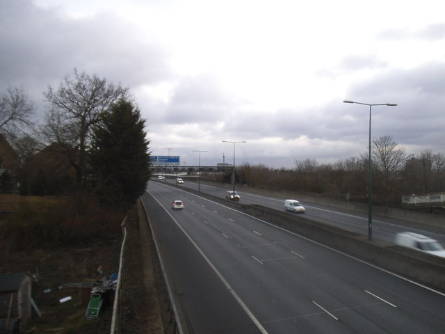
Image: © David Howard Taken: 4 Feb 2015
Originally the M1 ended in Mill Hill but this stretch was added to link with the North Circular Road a mile or so beyond.
Images are licensed for reuse under creativecommons.org/licenses/by-sa/2.0
Image Location
Latitude
51.586802
Longitude
-0.238125