Friary Park, Sleaford Road, Newark, Notts.
Introduction
The photograph on this page of Friary Park, Sleaford Road, Newark, Notts. by David Hallam-Jones as part of the Geograph project.
The Geograph project started in 2005 with the aim of publishing, organising and preserving representative images for every square kilometre of Great Britain, Ireland and the Isle of Man.

There are currently over 7.5m images from over 14,400 individuals and you can help contribute to the project by visiting https://www.geograph.org.uk
Friary Park, Sleaford Road, Newark, Notts.
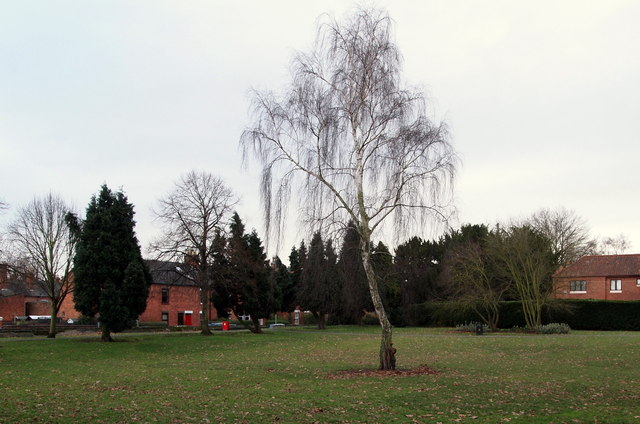
Image: © David Hallam-Jones Taken: 1 Feb 2015
Friary Park seen from the Queen's Street/Appleton Gate junction. On the right-hand side of the house on the right-hand margin of this picture, and behind it, are a couple of grey-stone built residential properties in a grey-stone wall-surrounded plot of land known as The Friary. In 1507 a group of Grey Friars, or "Observant Friars" of the Franciscan Order, began to serve the community from their base here that include "gardens and/or an orchard". Although there is little trace of the friary it seems possible that these gardens were part of the original C16th religious house site.
Images are licensed for reuse under creativecommons.org/licenses/by-sa/2.0
Image Location
Latitude
53.078019
Longitude
-0.803661