Longton Grove, SE26
Introduction
The photograph on this page of Longton Grove, SE26 by Robin Webster as part of the Geograph project.
The Geograph project started in 2005 with the aim of publishing, organising and preserving representative images for every square kilometre of Great Britain, Ireland and the Isle of Man.

There are currently over 7.5m images from over 14,400 individuals and you can help contribute to the project by visiting https://www.geograph.org.uk
Longton Grove, SE26
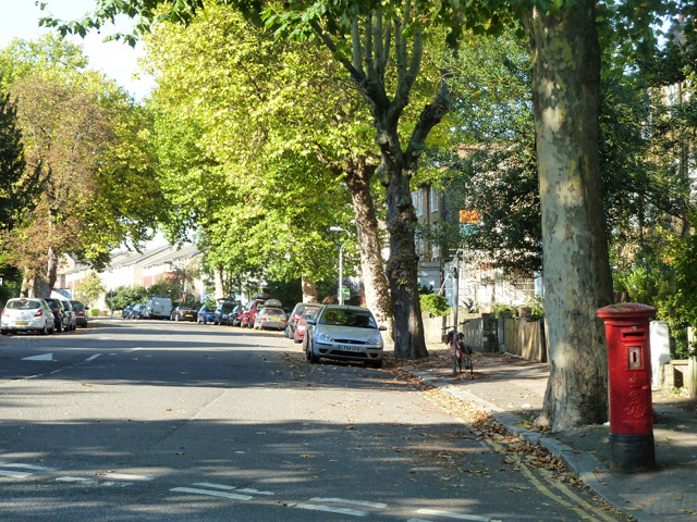
Image: © Robin Webster Taken: 1 Oct 2011
An Edward VII pillar box on the right, lacking its information plate.
Images are licensed for reuse under creativecommons.org/licenses/by-sa/2.0
Image Location
Latitude
51.42925
Longitude
-0.061208