Steyning: Church Street
Introduction
The photograph on this page of Steyning: Church Street by Michael Garlick as part of the Geograph project.
The Geograph project started in 2005 with the aim of publishing, organising and preserving representative images for every square kilometre of Great Britain, Ireland and the Isle of Man.

There are currently over 7.5m images from over 14,400 individuals and you can help contribute to the project by visiting https://www.geograph.org.uk
Steyning: Church Street
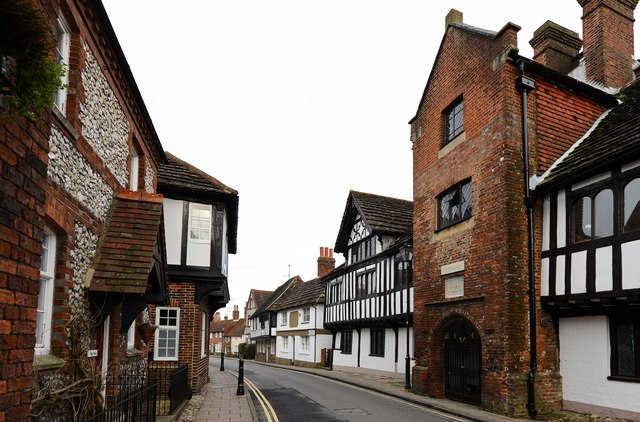
Image: © Michael Garlick Taken: 2 Feb 2015
View from near to the end of Church Street where it joins the High Street; the early 17th century brick built entrance to the grammar school can be seen on the right.
Images are licensed for reuse under creativecommons.org/licenses/by-sa/2.0
Image Location
Latitude
50.8883
Longitude
-0.327595