Hemel Hempstead: Top of the World
Introduction
The photograph on this page of Hemel Hempstead: Top of the World by Nigel Cox as part of the Geograph project.
The Geograph project started in 2005 with the aim of publishing, organising and preserving representative images for every square kilometre of Great Britain, Ireland and the Isle of Man.

There are currently over 7.5m images from over 14,400 individuals and you can help contribute to the project by visiting https://www.geograph.org.uk
Hemel Hempstead: Top of the World
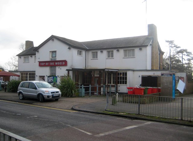
Image: © Nigel Cox Taken: 1 Feb 2015
Top of the World is possibly a slight exaggeration in topographical terms given the existence of Mount Everest, and even locally if you walk northwards up Boxted Road from the pub it is distinctly uphill. Nonetheless the other three roads leading away from the Top of the World, Long Chaulden, Warners End Road and Northridge Way, all drop away so perhaps they have a point.
Images are licensed for reuse under creativecommons.org/licenses/by-sa/2.0
Image Location
Latitude
51.75607
Longitude
-0.492779