Rashielea
Introduction
The photograph on this page of Rashielea by Richard Webb as part of the Geograph project.
The Geograph project started in 2005 with the aim of publishing, organising and preserving representative images for every square kilometre of Great Britain, Ireland and the Isle of Man.

There are currently over 7.5m images from over 14,400 individuals and you can help contribute to the project by visiting https://www.geograph.org.uk
Rashielea
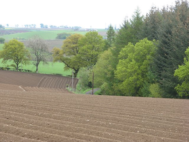
Image: © Richard Webb Taken: 13 May 2007
Road to Rashielea between woods and a potato field. The square is a mix of woods and farmland, like much of lowland Perthshire.
Images are licensed for reuse under creativecommons.org/licenses/by-sa/2.0
Image Location
Latitude
56.482337
Longitude
-3.532263