Caldicot and Wentlooge Levels IDB van in Newport
Introduction
The photograph on this page of Caldicot and Wentlooge Levels IDB van in Newport by Jaggery as part of the Geograph project.
The Geograph project started in 2005 with the aim of publishing, organising and preserving representative images for every square kilometre of Great Britain, Ireland and the Isle of Man.

There are currently over 7.5m images from over 14,400 individuals and you can help contribute to the project by visiting https://www.geograph.org.uk
Caldicot and Wentlooge Levels IDB van in Newport
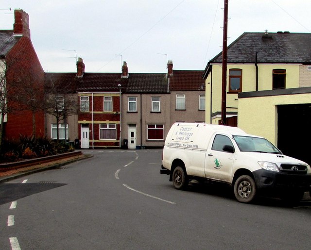
Image: © Jaggery Taken: 2 Feb 2015
The van is parked in Clayton Street near the corner of Corelli Street. The Caldicot and Wentlooge Levels IDB (Internal Drainage Board) offices are at Pye Corner, Broadstreet Common in the Nash area of Newport. The Board is responsible for the water level management of the Gwent Levels, a low-lying flat area between Chepstow and Cardiff, bounded by the tidal Severn Estuary to the south and the M4 motorway to the north, where valuable agricultural, commercial and residential land would otherwise be regularly flooded.
Images are licensed for reuse under creativecommons.org/licenses/by-sa/2.0
Image Location
Latitude
51.593694
Longitude
-2.989247