Fairfields, Chertsey
Introduction
The photograph on this page of Fairfields, Chertsey by David Howard as part of the Geograph project.
The Geograph project started in 2005 with the aim of publishing, organising and preserving representative images for every square kilometre of Great Britain, Ireland and the Isle of Man.

There are currently over 7.5m images from over 14,400 individuals and you can help contribute to the project by visiting https://www.geograph.org.uk
Fairfields, Chertsey
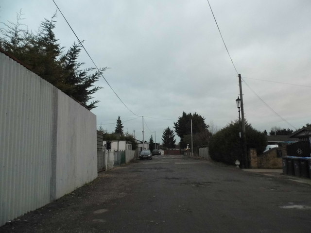
Image: © David Howard Taken: 1 Feb 2015
This is an unmade private road with industry on one side and prefabs on the other. It ties for the worst road surface I've ever come across, one in Clock House near Beckenham was the first and this at least equals it, if not exceeds its truly dangerous nature. It was also half underwater which meant you couldn't even see what was underneath until it was too late. There is no pavement so people have to walk through it as well. This was the better part, the rest had a few inches between portions with sharp drops, and has the highest humps I'd ever seen as if they needed them to make any difference.
Images are licensed for reuse under creativecommons.org/licenses/by-sa/2.0
Image Location
Latitude
51.3855
Longitude
-0.499236