Canal path barriers, Griffithstown, Pontypool
Introduction
The photograph on this page of Canal path barriers, Griffithstown, Pontypool by Jaggery as part of the Geograph project.
The Geograph project started in 2005 with the aim of publishing, organising and preserving representative images for every square kilometre of Great Britain, Ireland and the Isle of Man.

There are currently over 7.5m images from over 14,400 individuals and you can help contribute to the project by visiting https://www.geograph.org.uk
Canal path barriers, Griffithstown, Pontypool
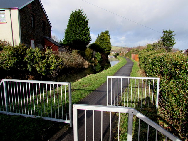
Image: © Jaggery Taken: 24 Jan 2015
Preventing vehicular misuse of the footpath & cycleway on the former towpath of the Monmouthshire & Brecon Canal north of Kemys Street and canal bridge 49. http://www.geograph.org.uk/photo/4330861 This is part of National Cycle Network Route 49.
Images are licensed for reuse under creativecommons.org/licenses/by-sa/2.0
Image Location
Latitude
51.684666
Longitude
-3.023341