Wheat field and hedge.
Introduction
The photograph on this page of Wheat field and hedge. by David Hawgood as part of the Geograph project.
The Geograph project started in 2005 with the aim of publishing, organising and preserving representative images for every square kilometre of Great Britain, Ireland and the Isle of Man.

There are currently over 7.5m images from over 14,400 individuals and you can help contribute to the project by visiting https://www.geograph.org.uk
Wheat field and hedge.
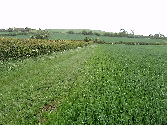
Image: © David Hawgood Taken: 12 May 2007
View from bridleway which crosses the middle of the field. View towards Burston Hill.
Images are licensed for reuse under creativecommons.org/licenses/by-sa/2.0
Image Location


Leaflet Map data © OpenStreetMap
Latitude
51.857117
Longitude
-0.79536