Path and green area between housing and A41
Introduction
The photograph on this page of Path and green area between housing and A41 by Robin Webster as part of the Geograph project.
The Geograph project started in 2005 with the aim of publishing, organising and preserving representative images for every square kilometre of Great Britain, Ireland and the Isle of Man.

There are currently over 7.5m images from over 14,400 individuals and you can help contribute to the project by visiting https://www.geograph.org.uk
Path and green area between housing and A41
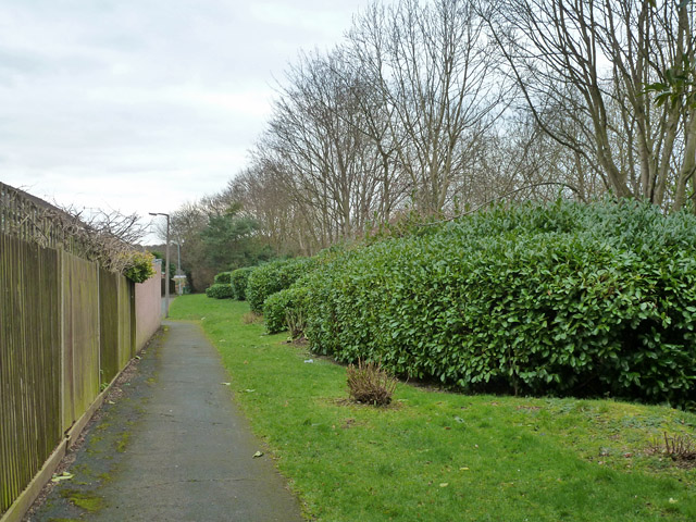
Image: © Robin Webster Taken: 1 Feb 2015
A long strip of green insulates the housing here from some of the noise of the busy A41 in a cutting to the right.
Images are licensed for reuse under creativecommons.org/licenses/by-sa/2.0
Image Location
Latitude
51.683938
Longitude
-0.422992