Wassell Grove Farm Buildings
Introduction
The photograph on this page of Wassell Grove Farm Buildings by Stephen Rogerson as part of the Geograph project.
The Geograph project started in 2005 with the aim of publishing, organising and preserving representative images for every square kilometre of Great Britain, Ireland and the Isle of Man.

There are currently over 7.5m images from over 14,400 individuals and you can help contribute to the project by visiting https://www.geograph.org.uk
Wassell Grove Farm Buildings
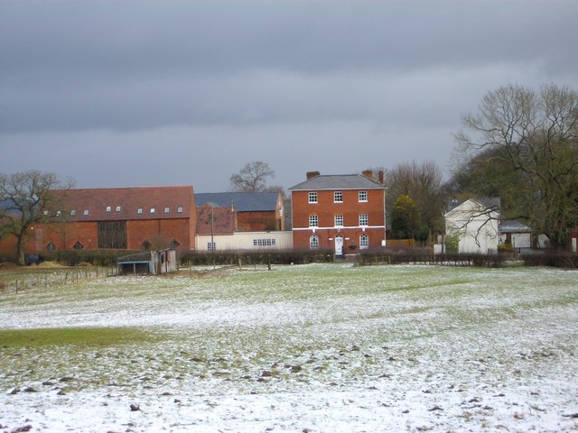
Image: © Stephen Rogerson Taken: 30 Jan 2015
Wassell Grove Farm. Grade II listed building. Brickwork shows top storey added later. 18th century possibly altered early 19th century. Barn dated 1826. The Barn is now converted into offices.
Images are licensed for reuse under creativecommons.org/licenses/by-sa/2.0
Image Location
Latitude
52.441416
Longitude
-2.099845