St. Margaret's station
Introduction
The photograph on this page of St. Margaret's station by Mike Quinn as part of the Geograph project.
The Geograph project started in 2005 with the aim of publishing, organising and preserving representative images for every square kilometre of Great Britain, Ireland and the Isle of Man.

There are currently over 7.5m images from over 14,400 individuals and you can help contribute to the project by visiting https://www.geograph.org.uk
St. Margaret's station
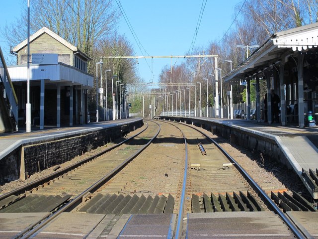
Image: © Mike Quinn Taken: 14 Jan 2015
On the Hertford East branch line between Rye House and Ware. Shows the location of Image (left, partly obscured by the canopy).
Images are licensed for reuse under creativecommons.org/licenses/by-sa/2.0
Image Location
Latitude
51.788725
Longitude
0.000424