A35 Louds Mill Flyover
Introduction
The photograph on this page of A35 Louds Mill Flyover by Nigel Mykura as part of the Geograph project.
The Geograph project started in 2005 with the aim of publishing, organising and preserving representative images for every square kilometre of Great Britain, Ireland and the Isle of Man.

There are currently over 7.5m images from over 14,400 individuals and you can help contribute to the project by visiting https://www.geograph.org.uk
A35 Louds Mill Flyover
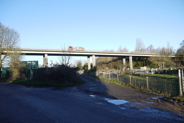
Image: © Nigel Mykura Taken: 30 Jan 2015
This flyover carries the A35 Dorchester bypass over the valley of the River Frome which at this point is fairly wide and flat with numerous small watercourses as well as the main river. The view is from St. Georges Rd which leads to Louds Mill.
Images are licensed for reuse under creativecommons.org/licenses/by-sa/2.0
Image Location
Latitude
50.712841
Longitude
-2.417914