Grass rectangle in Penywaun
Introduction
The photograph on this page of Grass rectangle in Penywaun by Jaggery as part of the Geograph project.
The Geograph project started in 2005 with the aim of publishing, organising and preserving representative images for every square kilometre of Great Britain, Ireland and the Isle of Man.

There are currently over 7.5m images from over 14,400 individuals and you can help contribute to the project by visiting https://www.geograph.org.uk
Grass rectangle in Penywaun
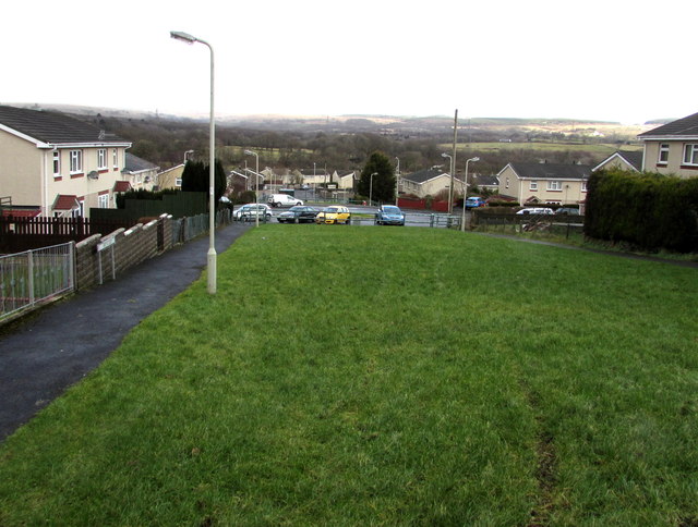
Image: © Jaggery Taken: 31 Jan 2015
The 15 metres wide rectangle extends for 45 metres from Haulfryn on this side to Llwynderi ahead. The houses on the left are in Bryncoed. http://www.geograph.org.uk/photo/4330089
Images are licensed for reuse under creativecommons.org/licenses/by-sa/2.0
Image Location
Latitude
51.73224
Longitude
-3.485626