Woodhall Close, Cuckfield
Introduction
The photograph on this page of Woodhall Close, Cuckfield by Simon Carey as part of the Geograph project.
The Geograph project started in 2005 with the aim of publishing, organising and preserving representative images for every square kilometre of Great Britain, Ireland and the Isle of Man.

There are currently over 7.5m images from over 14,400 individuals and you can help contribute to the project by visiting https://www.geograph.org.uk
Woodhall Close, Cuckfield
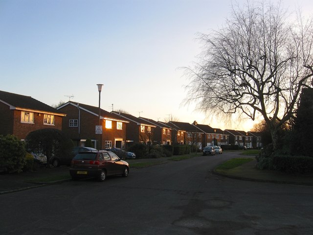
Image: © Simon Carey Taken: 24 Jan 2015
Part of a residential estate built in the early 1970s with this road occupying the area that once contained Little meadow according to Cuckfield's 1843 tithe map.
Images are licensed for reuse under creativecommons.org/licenses/by-sa/2.0
Image Location
Latitude
51.013843
Longitude
-0.137321