Footpath boundary behind Royal Stoke University Hospital
Introduction
The photograph on this page of Footpath boundary behind Royal Stoke University Hospital by Jonathan Hutchins as part of the Geograph project.
The Geograph project started in 2005 with the aim of publishing, organising and preserving representative images for every square kilometre of Great Britain, Ireland and the Isle of Man.

There are currently over 7.5m images from over 14,400 individuals and you can help contribute to the project by visiting https://www.geograph.org.uk
Footpath boundary behind Royal Stoke University Hospital
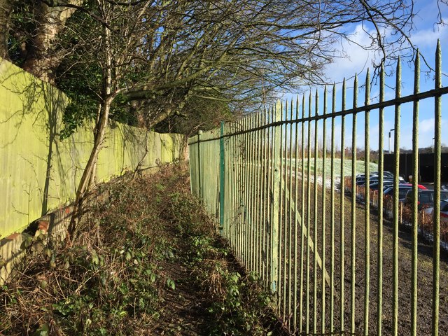
Image: © Jonathan Hutchins Taken: 30 Jan 2015
A little further north along Image] the path has widened out. Behind the railings on the right is the back of the hospital's multistorey car park.
Images are licensed for reuse under creativecommons.org/licenses/by-sa/2.0
Image Location
Latitude
53.006531
Longitude
-2.213663