Footpath boundary behind Royal Stoke University Hospital
Introduction
The photograph on this page of Footpath boundary behind Royal Stoke University Hospital by Jonathan Hutchins as part of the Geograph project.
The Geograph project started in 2005 with the aim of publishing, organising and preserving representative images for every square kilometre of Great Britain, Ireland and the Isle of Man.

There are currently over 7.5m images from over 14,400 individuals and you can help contribute to the project by visiting https://www.geograph.org.uk
Footpath boundary behind Royal Stoke University Hospital
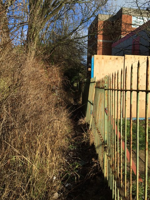
Image: © Jonathan Hutchins Taken: 30 Jan 2015
This barely used footpath, FP Newcastle 156, is the boundary between the Borough of Newcastle-under-Lyme and the unitary authority of Stoke-on-Trent. On the right of the railings is the Royal Stoke University Hospital specifically the back of the Springfield Building http://www.geograph.org.uk/photo/4313053. The top (north) end is http://www.geograph.org.uk/photo/4327915.
Images are licensed for reuse under creativecommons.org/licenses/by-sa/2.0
Image Location
Latitude
53.00608
Longitude
-2.214555