Caitlin Street
Introduction
The photograph on this page of Caitlin Street by Robin Webster as part of the Geograph project.
The Geograph project started in 2005 with the aim of publishing, organising and preserving representative images for every square kilometre of Great Britain, Ireland and the Isle of Man.

There are currently over 7.5m images from over 14,400 individuals and you can help contribute to the project by visiting https://www.geograph.org.uk
Caitlin Street
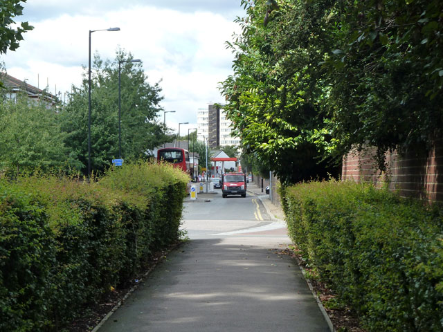
Image: © Robin Webster Taken: 23 Jul 2011
Looking down a path that cuts the corner with Rotherhithe New Road. This was the old route of Caitlin Street before the acute junction was made into a safer right-angled one.
Images are licensed for reuse under creativecommons.org/licenses/by-sa/2.0
Image Location
Latitude
51.487357
Longitude
-0.062057