Obscured view of allotments, Pontypool
Introduction
The photograph on this page of Obscured view of allotments, Pontypool by Jaggery as part of the Geograph project.
The Geograph project started in 2005 with the aim of publishing, organising and preserving representative images for every square kilometre of Great Britain, Ireland and the Isle of Man.

There are currently over 7.5m images from over 14,400 individuals and you can help contribute to the project by visiting https://www.geograph.org.uk
Obscured view of allotments, Pontypool
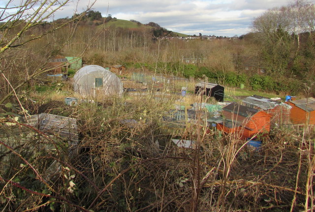
Image: © Jaggery Taken: 27 Jan 2015
This is the best (or least bad) view I got of a small area of allotments set below Stafford Road.
Images are licensed for reuse under creativecommons.org/licenses/by-sa/2.0
Image Location
Latitude
51.693618
Longitude
-3.027884