Liddaton Down Cross
Introduction
The photograph on this page of Liddaton Down Cross by Derek Harper as part of the Geograph project.
The Geograph project started in 2005 with the aim of publishing, organising and preserving representative images for every square kilometre of Great Britain, Ireland and the Isle of Man.

There are currently over 7.5m images from over 14,400 individuals and you can help contribute to the project by visiting https://www.geograph.org.uk
Liddaton Down Cross
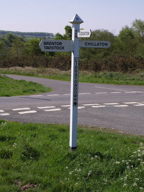
Image: © Derek Harper Taken: 1 May 2007
Another view of Image, with the junction in the background. The lane lacking a fingerpost leads to Brent Tor by a more direct but narrower route.
Images are licensed for reuse under creativecommons.org/licenses/by-sa/2.0
Image Location


Leaflet Map data © OpenStreetMap
Latitude
50.616988
Longitude
-4.181743