Former Huntsmoor Park land
Introduction
The photograph on this page of Former Huntsmoor Park land by Robin Webster as part of the Geograph project.
The Geograph project started in 2005 with the aim of publishing, organising and preserving representative images for every square kilometre of Great Britain, Ireland and the Isle of Man.

There are currently over 7.5m images from over 14,400 individuals and you can help contribute to the project by visiting https://www.geograph.org.uk
Former Huntsmoor Park land
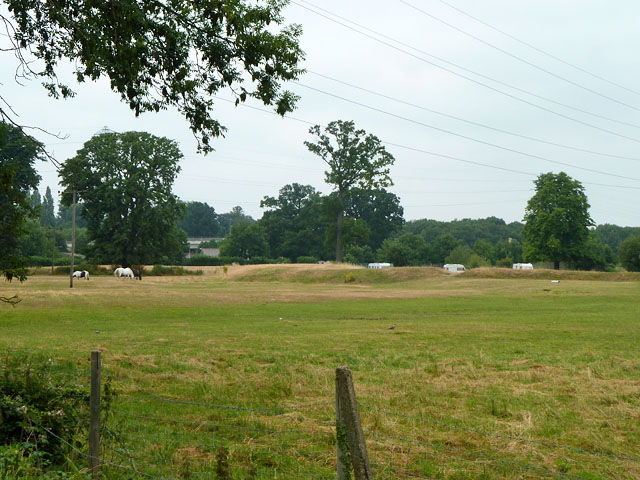
Image: © Robin Webster Taken: 21 Jul 2013
The earthwork, part of a formation extending to the River Colne, is a bit of a mystery, apparently not part of the original parkland. It does not appear on maps or aerial views until the last few years. It is contemporary with a concrete chambered fish farm where the caravans are, but seemingly unconnected with it.
Images are licensed for reuse under creativecommons.org/licenses/by-sa/2.0
Image Location
Latitude
51.519693
Longitude
-0.494541