Dartmouth from the edge of the Bell House
Introduction
The photograph on this page of Dartmouth from the edge of the Bell House by Jaggery as part of the Geograph project.
The Geograph project started in 2005 with the aim of publishing, organising and preserving representative images for every square kilometre of Great Britain, Ireland and the Isle of Man.

There are currently over 7.5m images from over 14,400 individuals and you can help contribute to the project by visiting https://www.geograph.org.uk
Dartmouth from the edge of the Bell House
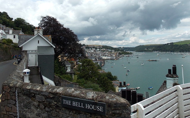
Image: © Jaggery Taken: 5 Jul 2014
Low level Dartmouth viewed from South Town at about 40 metres (130 ft) above sea level.
Images are licensed for reuse under creativecommons.org/licenses/by-sa/2.0
Image Location
Latitude
50.349992
Longitude
-3.578394