Westbury-on-Severn RFC clubhouse
Introduction
The photograph on this page of Westbury-on-Severn RFC clubhouse by Jaggery as part of the Geograph project.
The Geograph project started in 2005 with the aim of publishing, organising and preserving representative images for every square kilometre of Great Britain, Ireland and the Isle of Man.

There are currently over 7.5m images from over 14,400 individuals and you can help contribute to the project by visiting https://www.geograph.org.uk
Westbury-on-Severn RFC clubhouse
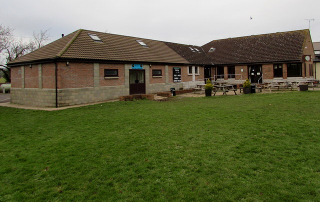
Image: © Jaggery Taken: 25 Jan 2015
Set back from the east side of Rodley Road, the rugby clubhouse is part of the cluster of buildings also containing the Parish Hall. http://www.geograph.org.uk/photo/4324941 A cricket scoreboard on the wall shows that the adjacent fields are used for cricket in the warmer months.
Images are licensed for reuse under creativecommons.org/licenses/by-sa/2.0
Image Location
Latitude
51.821046
Longitude
-2.404736