A distant view of the Outwood area of Horsforth
Introduction
The photograph on this page of A distant view of the Outwood area of Horsforth by Rich Tea as part of the Geograph project.
The Geograph project started in 2005 with the aim of publishing, organising and preserving representative images for every square kilometre of Great Britain, Ireland and the Isle of Man.

There are currently over 7.5m images from over 14,400 individuals and you can help contribute to the project by visiting https://www.geograph.org.uk
A distant view of the Outwood area of Horsforth
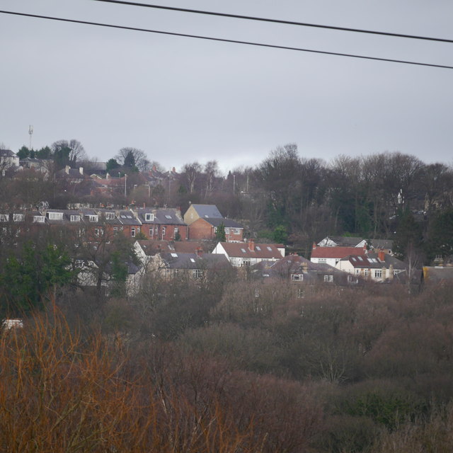
Image: © Rich Tea Taken: 25 Jan 2015
This view is taken from Bramley Fall Park, about 1 km away on the south side of the Aire Valley. The nearest houses are on Outwood Lane, the white houses are on Beech Avenue, with Craggwood Road behind.
Images are licensed for reuse under creativecommons.org/licenses/by-sa/2.0
Image Location
Latitude
53.832748
Longitude
-1.633019