Tanners Mead
Introduction
The photograph on this page of Tanners Mead by Simon Carey as part of the Geograph project.
The Geograph project started in 2005 with the aim of publishing, organising and preserving representative images for every square kilometre of Great Britain, Ireland and the Isle of Man.

There are currently over 7.5m images from over 14,400 individuals and you can help contribute to the project by visiting https://www.geograph.org.uk
Tanners Mead
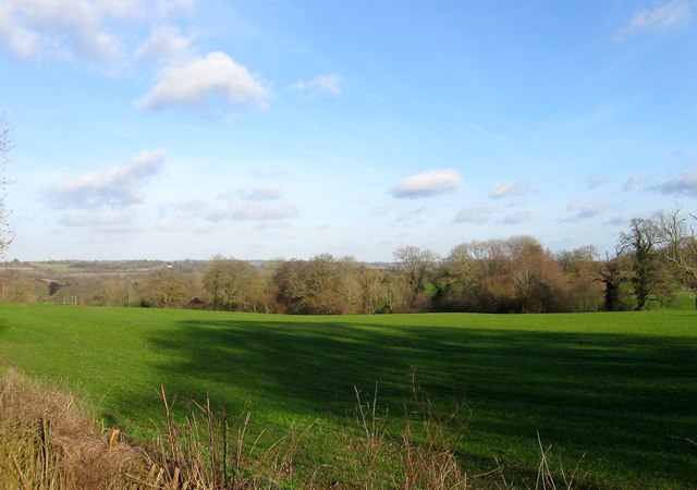
Image: © Simon Carey Taken: 24 Jan 2015
The name of the field according to Cuckfield's 1843 tithe map that lies on the eastern side of the B2036 with Image to the north and Image to the south. The tan yard was still working at the time of the 1843 tithe map but was not marked on the 1874 OS map.
Images are licensed for reuse under creativecommons.org/licenses/by-sa/2.0
Image Location
Latitude
51.022339
Longitude
-0.139975