High Street, Royston
Introduction
The photograph on this page of High Street, Royston by John Partridge as part of the Geograph project.
The Geograph project started in 2005 with the aim of publishing, organising and preserving representative images for every square kilometre of Great Britain, Ireland and the Isle of Man.

There are currently over 7.5m images from over 14,400 individuals and you can help contribute to the project by visiting https://www.geograph.org.uk
High Street, Royston
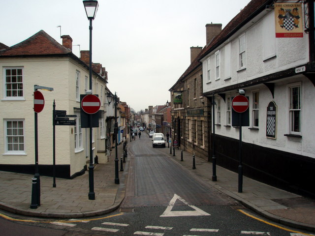
Image: © John Partridge Taken: 22 Mar 2007
The Chequers and The Bull public houses on the right and some fine restoration work to the cottages on the left which won a Civic Award from North Herts District Council in 1978
Images are licensed for reuse under creativecommons.org/licenses/by-sa/2.0
Image Location
Latitude
52.046936
Longitude
-0.023648