The corner of Park Hill Road
Introduction
The photograph on this page of The corner of Park Hill Road by Marathon as part of the Geograph project.
The Geograph project started in 2005 with the aim of publishing, organising and preserving representative images for every square kilometre of Great Britain, Ireland and the Isle of Man.

There are currently over 7.5m images from over 14,400 individuals and you can help contribute to the project by visiting https://www.geograph.org.uk
The corner of Park Hill Road
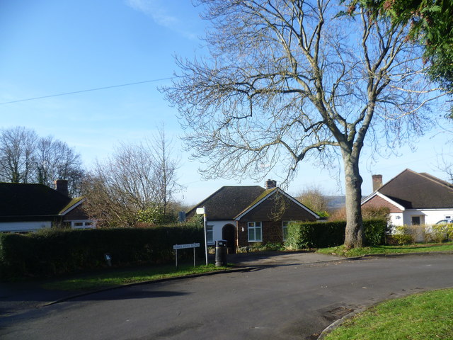
Image: © Marathon Taken: 24 Jan 2015
Beechy Lees Road and Park Hill Road form a crescent off Pilgrim's Way. Round the bend ahead Park Hill Road becomes Beechy Lees Road. The footpath on the left cuts through to Dynes Road.
Images are licensed for reuse under creativecommons.org/licenses/by-sa/2.0
Image Location
Latitude
51.308753
Longitude
0.207617