Field boundary and byway
Introduction
The photograph on this page of Field boundary and byway by Claire Haystead as part of the Geograph project.
The Geograph project started in 2005 with the aim of publishing, organising and preserving representative images for every square kilometre of Great Britain, Ireland and the Isle of Man.

There are currently over 7.5m images from over 14,400 individuals and you can help contribute to the project by visiting https://www.geograph.org.uk
Field boundary and byway
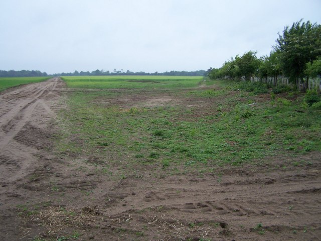
Image: © Claire Haystead Taken: 13 May 2007
Standing at the top of the grid square looking SW - the byway to my left and the field boundary to my right
Images are licensed for reuse under creativecommons.org/licenses/by-sa/2.0
Image Location
Latitude
52.070414
Longitude
1.401958