Cookham: White Brook (2)
Introduction
The photograph on this page of Cookham: White Brook (2) by Nigel Cox as part of the Geograph project.
The Geograph project started in 2005 with the aim of publishing, organising and preserving representative images for every square kilometre of Great Britain, Ireland and the Isle of Man.

There are currently over 7.5m images from over 14,400 individuals and you can help contribute to the project by visiting https://www.geograph.org.uk
Cookham: White Brook (2)
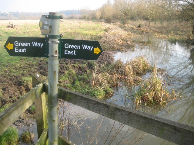
Image: © Nigel Cox Taken: 22 Jan 2015
White Brook is one of several watercourses that meander seemingly aimlessly across the flood plain of the River Thames north and upstream of Maidenhead. Here White Brook is in Cookham but the boundary with Maidenhead is very close, following the hedgerow on the right. The land on the left bank is the National Trust owned Widbrook Common, but on Victorian Ordnance Survey maps currently available online this is clearly shown as Whitebrook Common, hence the derivation of the present-day name.
Images are licensed for reuse under creativecommons.org/licenses/by-sa/2.0
Image Location
Latitude
51.545127
Longitude
-0.712474