Path south from Avondale Road, Sebastopol, Pontypool
Introduction
The photograph on this page of Path south from Avondale Road, Sebastopol, Pontypool by Jaggery as part of the Geograph project.
The Geograph project started in 2005 with the aim of publishing, organising and preserving representative images for every square kilometre of Great Britain, Ireland and the Isle of Man.

There are currently over 7.5m images from over 14,400 individuals and you can help contribute to the project by visiting https://www.geograph.org.uk
Path south from Avondale Road, Sebastopol, Pontypool
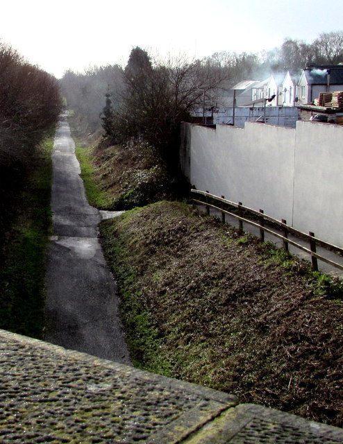
Image: © Jaggery Taken: 24 Jan 2015
The path uses the route of a dismantled railway near the demolished Sebastopol railway station. Viewed from this http://www.geograph.org.uk/photo/4321748 road bridge.
Images are licensed for reuse under creativecommons.org/licenses/by-sa/2.0
Image Location
Latitude
51.675967
Longitude
-3.020687