Farmland, Mount Tabor
Introduction
The photograph on this page of Farmland, Mount Tabor by Derek Harper as part of the Geograph project.
The Geograph project started in 2005 with the aim of publishing, organising and preserving representative images for every square kilometre of Great Britain, Ireland and the Isle of Man.

There are currently over 7.5m images from over 14,400 individuals and you can help contribute to the project by visiting https://www.geograph.org.uk
Farmland, Mount Tabor
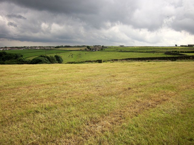
Image: © Derek Harper Taken: 3 Jul 2014
Looking back to the right from the same spot as Image], with threatening clouds gathering. On the left, in the valley described at Image], is the top of Ramsden Wood. The distant farm in the centre is Park Farm, in Image On the left is the start of the built-up area of Halifax.
Images are licensed for reuse under creativecommons.org/licenses/by-sa/2.0
Image Location
Latitude
53.739356
Longitude
-1.918095