River Brit
Introduction
The photograph on this page of River Brit by Nigel Mykura as part of the Geograph project.
The Geograph project started in 2005 with the aim of publishing, organising and preserving representative images for every square kilometre of Great Britain, Ireland and the Isle of Man.

There are currently over 7.5m images from over 14,400 individuals and you can help contribute to the project by visiting https://www.geograph.org.uk
River Brit
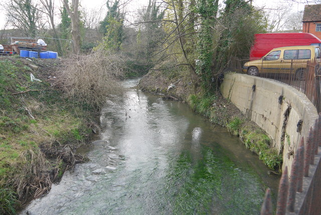
Image: © Nigel Mykura Taken: 23 Jan 2015
The river meanders through the town is several significant loops. Here just above its confluence with the River Simene it runs alongside the St Michaels trading estate just out of picture to the right' This is traditionally quite an industrial area and the river is not particularly attractive.
Images are licensed for reuse under creativecommons.org/licenses/by-sa/2.0
Image Location
Latitude
50.731777
Longitude
-2.762965