A4059 towards the centre of Aberdare
Introduction
The photograph on this page of A4059 towards the centre of Aberdare by Jaggery as part of the Geograph project.
The Geograph project started in 2005 with the aim of publishing, organising and preserving representative images for every square kilometre of Great Britain, Ireland and the Isle of Man.

There are currently over 7.5m images from over 14,400 individuals and you can help contribute to the project by visiting https://www.geograph.org.uk
A4059 towards the centre of Aberdare
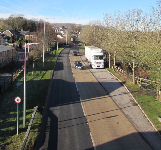
Image: © Jaggery Taken: 19 Jan 2015
Viewed from this http://www.geograph.org.uk/photo/4317633 footbridge. The red-edged circular sign indicates no pedestrians.
Images are licensed for reuse under creativecommons.org/licenses/by-sa/2.0
Image Location
Latitude
51.708222
Longitude
-3.435774