Waters Drive, Staines
Introduction
The photograph on this page of Waters Drive, Staines by David Howard as part of the Geograph project.
The Geograph project started in 2005 with the aim of publishing, organising and preserving representative images for every square kilometre of Great Britain, Ireland and the Isle of Man.

There are currently over 7.5m images from over 14,400 individuals and you can help contribute to the project by visiting https://www.geograph.org.uk
Waters Drive, Staines
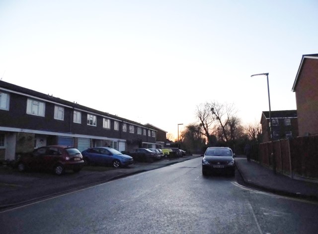
Image: © David Howard Taken: 18 Jan 2015
It is called Waters as it is between the river Ash behind here and Colne on the right. This end of the road is in the place where the two join.
Images are licensed for reuse under creativecommons.org/licenses/by-sa/2.0
Image Location
Latitude
51.438251
Longitude
-0.510744