Mill entrance and houses, Clayton Heights
Introduction
The photograph on this page of Mill entrance and houses, Clayton Heights by Derek Harper as part of the Geograph project.
The Geograph project started in 2005 with the aim of publishing, organising and preserving representative images for every square kilometre of Great Britain, Ireland and the Isle of Man.

There are currently over 7.5m images from over 14,400 individuals and you can help contribute to the project by visiting https://www.geograph.org.uk
Mill entrance and houses, Clayton Heights
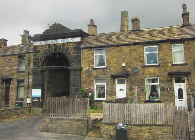
Image: © Derek Harper Taken: 3 Jul 2014
On the left is the ashlar portal shown in Image; it is described at http://list.english-heritage.org.uk/resultsingle.aspx?uid=1314432&searchtype=mapsearch . The mill itself, the stack of which can be seen above the roofs, is now divided into 37 flats. To the right is part of a terrace on Highgate Road, the A647; the house on the left has an address on back lane, which forks away from the main road here.
Images are licensed for reuse under creativecommons.org/licenses/by-sa/2.0
Image Location
Latitude
53.772412
Longitude
-1.817741