Panoramic view from Walton Lane
Introduction
The photograph on this page of Panoramic view from Walton Lane by David P Howard as part of the Geograph project.
The Geograph project started in 2005 with the aim of publishing, organising and preserving representative images for every square kilometre of Great Britain, Ireland and the Isle of Man.

There are currently over 7.5m images from over 14,400 individuals and you can help contribute to the project by visiting https://www.geograph.org.uk
Panoramic view from Walton Lane
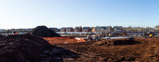
Image: © David P Howard Taken: 18 Jan 2015
This is a stitched 80 degree panorama from four images, taken using a three metre monopod to secure a high viewing position. It shows the continued building on the Ettington Park Estate.
Images are licensed for reuse under creativecommons.org/licenses/by-sa/2.0
Image Location
Latitude
52.189756
Longitude
-1.594465