DLR viaduct at Limehouse
Introduction
The photograph on this page of DLR viaduct at Limehouse by Stephen Craven as part of the Geograph project.
The Geograph project started in 2005 with the aim of publishing, organising and preserving representative images for every square kilometre of Great Britain, Ireland and the Isle of Man.

There are currently over 7.5m images from over 14,400 individuals and you can help contribute to the project by visiting https://www.geograph.org.uk
DLR viaduct at Limehouse
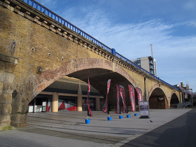
Image: © Stephen Craven Taken: 11 Jan 2015
One of the older viaducts that was re-used for the original Docklands Light Railway route.
Images are licensed for reuse under creativecommons.org/licenses/by-sa/2.0
Image Location
Latitude
51.512225
Longitude
-0.037943