Winckley Square Gardens
Introduction
The photograph on this page of Winckley Square Gardens by David Dixon as part of the Geograph project.
The Geograph project started in 2005 with the aim of publishing, organising and preserving representative images for every square kilometre of Great Britain, Ireland and the Isle of Man.

There are currently over 7.5m images from over 14,400 individuals and you can help contribute to the project by visiting https://www.geograph.org.uk
Winckley Square Gardens
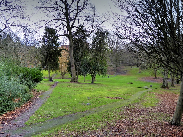
Image: © David Dixon Taken: 14 Jan 2015
Winckley Square was first established in 1801, around Town End Field owned by Thomas Winckley, as an exclusive residential area for the town's gentry. It is now occupied mostly by insurance, legal and other business offices, although some residential developments have recently been made. The square's gardens, now an open public park, originally consisted of private plots, each owned by a resident http://en.wikipedia.org/wiki/Winckley_Square (Wikipedia).
Images are licensed for reuse under creativecommons.org/licenses/by-sa/2.0
Image Location


Leaflet Map data © OpenStreetMap
Latitude
53.756203
Longitude
-2.701732