Field near Sydenham
Introduction
The photograph on this page of Field near Sydenham by Derek Harper as part of the Geograph project.
The Geograph project started in 2005 with the aim of publishing, organising and preserving representative images for every square kilometre of Great Britain, Ireland and the Isle of Man.

There are currently over 7.5m images from over 14,400 individuals and you can help contribute to the project by visiting https://www.geograph.org.uk
Field near Sydenham
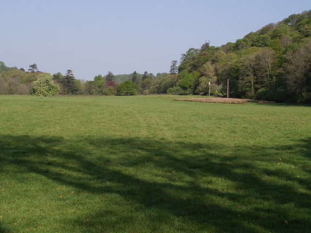
Image: © Derek Harper Taken: 1 May 2007
This is the upper part of a large field that borders the River Lyd (away on the left). Sydenham Wood rises above the roof of Woodlands. Seen from Image, and taken from the same place as Image
Images are licensed for reuse under creativecommons.org/licenses/by-sa/2.0
Image Location


Leaflet Map data © OpenStreetMap
Latitude
50.630107
Longitude
-4.215723