Pentre Estyll
Introduction
The photograph on this page of Pentre Estyll by Alan Richards as part of the Geograph project.
The Geograph project started in 2005 with the aim of publishing, organising and preserving representative images for every square kilometre of Great Britain, Ireland and the Isle of Man.

There are currently over 7.5m images from over 14,400 individuals and you can help contribute to the project by visiting https://www.geograph.org.uk
Pentre Estyll
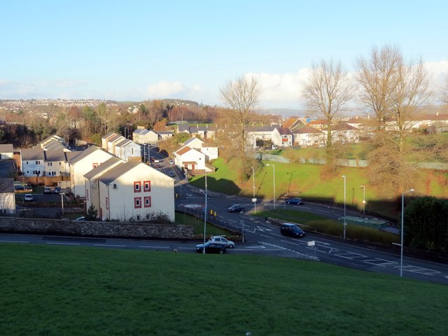
Image: © Alan Richards Taken: 16 Jan 2015
Edrych tuag at Heol Llangyfylach ym Mhentre Estyll. Looking towards Llangyfelach Road, Pentre Estyll (trans. main farmstead of planks).
Images are licensed for reuse under creativecommons.org/licenses/by-sa/2.0
Image Location
Latitude
51.634534
Longitude
-3.944693