The middle section of Rachub's High Street
Introduction
The photograph on this page of The middle section of Rachub's High Street by Eric Jones as part of the Geograph project.
The Geograph project started in 2005 with the aim of publishing, organising and preserving representative images for every square kilometre of Great Britain, Ireland and the Isle of Man.

There are currently over 7.5m images from over 14,400 individuals and you can help contribute to the project by visiting https://www.geograph.org.uk
The middle section of Rachub's High Street
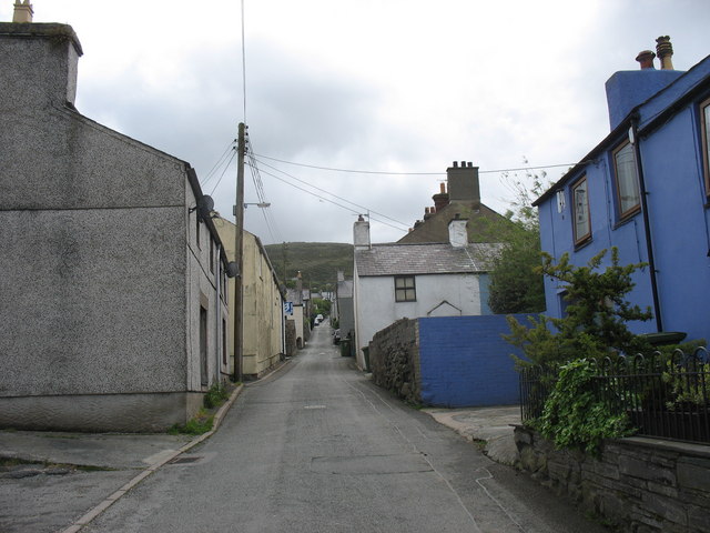
Image: © Eric Jones Taken: 11 May 2007
The High Street, narrow as it is, forms the artery which allows access to and from the series of mainly cul-de-sac side streets which lie on either side of it. Rachub in the 19th and early 20th century was one of the most densely populated villages in the slate quarrying belt of Caernarvonshire.
Images are licensed for reuse under creativecommons.org/licenses/by-sa/2.0
Image Location


Leaflet Map data © OpenStreetMap
Latitude
53.191419
Longitude
-4.060695