Across Fulbourn from Mill Hill
Introduction
The photograph on this page of Across Fulbourn from Mill Hill by John Sutton as part of the Geograph project.
The Geograph project started in 2005 with the aim of publishing, organising and preserving representative images for every square kilometre of Great Britain, Ireland and the Isle of Man.

There are currently over 7.5m images from over 14,400 individuals and you can help contribute to the project by visiting https://www.geograph.org.uk
Across Fulbourn from Mill Hill
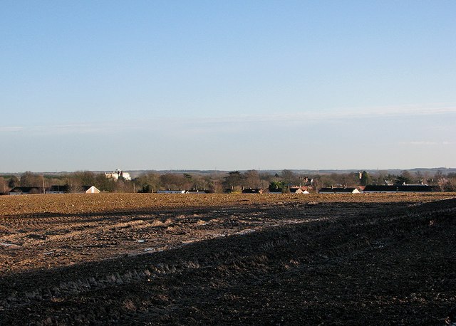
Image: © John Sutton Taken: 13 Jan 2015
A view from a field gate almost opposite the windmill taken on a sunny January morning. Above the houses on the edge of the village the most prominent buildings are the S&B Herba processing plant (left) and the tower of St Vigor's Church (towards the right). On the skyline are the chalk hills of East Cambridgeshire and Suffolk.
Images are licensed for reuse under creativecommons.org/licenses/by-sa/2.0
Image Location


Leaflet Map data © OpenStreetMap
Latitude
52.182521
Longitude
0.210117